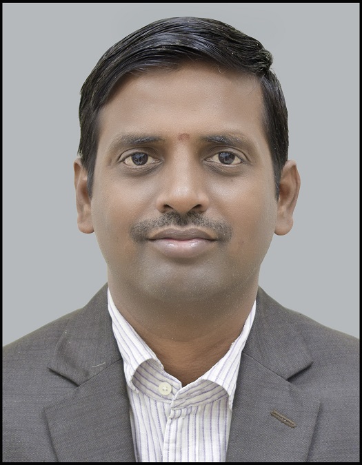
Teaching
1) Remote sensing and Digital Image Processing
2) Geographical Information System
3) Geodessy and GNSS
4) UAV data Mapping and applications
5) Modellinga nd Analysis of Geospatial data
6) GIS practical
7) Geospatial modelling


Designation: Associate Professor
Department: Mining Engineering
Email: vgkvilluri[at]iitism[dot]ac[dot]in
Contact Number: 9471192205
Office Number: +91-326-223-5069
Personal Page: Under Construction
Research Interest: Photogrammetry, Cartography, Remote Sensing, GIS And GPS
1) Remote sensing and Digital Image Processing
2) Geographical Information System
3) Geodessy and GNSS
4) UAV data Mapping and applications
5) Modellinga nd Analysis of Geospatial data
6) GIS practical
7) Geospatial modelling
Associate Professor
Coordinator, M.Tech Geomatics
HoC, Regional Center for Geodesy
Kumar, S., Agarwal, A., V. Govind Kumar Villuri, Pasupuleti, S., Kumar, D., Kaushal, D.R., Gosain, A.K., Bronstert, A. and Sivakumar, B., 2021. Constructed wetland management in urban catchments for mitigating floods. Stochastic Environmental Research and Risk Assessment, pp.1-20. (I.F.-2.351)
Agrawal, P., Sinha, A., Kumar, S., Agarwal, A., Banerjee, A., V. Govind Kumar Villuri, Annavarapu, C.S.R., Dwivedi, R., Dera, V.V.R., Sinha, J. and Pasupuleti, S., 2021. Exploring Artificial Intelligence Techniques for Groundwater Quality Assessment. Water, 13(9), p.1172. (I.F.-2.544)
Khare, R., V. Govind Kumar Villuri, Chaurasia, D. and Kumari, S., 2021. Measurement of transit-oriented development (TOD) using GIS technique: a case study. Arabian Journal of Geosciences, 14(10), pp.1-16. (I.F.-1.327)
Khare, R., V. Govind Kumar Villuri and Chaurasia, D., 2021. Urban sustainability assessment: The evaluation of coordinated relationship between BRTS and land use in transit-oriented development mode using DEA model. Ain Shams Engineering Journal, 12(1), pp.107-117. (I.F.-1.949)
R. K. Singh, A. Soni, S. Kumar, Pasupuleti S., V. Govind Kumar Villuri, 2020, “Zonation of flood prone area in integrated framework of hydrodynamic model and ANN”, Water Supply, (I.F.- 0.900).
R. K. Singh, V. Govind Kumar Villuri, Pasupuleti S., Rajesh N.,2020, “Hydrodynamic modeling for identifying flood vulnerability zones in lower Damodar river of eastern India”, Ain Shams Engineering Journal*,(published online),https://doi.org/10.1016/j.asej. 2020. 01.011. (I.F.- 1.949).
R. K. Singh, M. Pandey, J. H. Pu, Pasupuleti S., V. Govind Kumar Villuri, 2020, “Experimental study of clear-water contraction scour”, Water Supply, 20 (3), pp.943-952, (published online), https://doi.org /10.2166/ws.2020.014. (I.F.- 0.900).
R.K. Singh, V. Govind Kumar Villuri, Pasupuleti, S., 2019, “Assessment of parameters and preparation of hydrodynamic model for lower Damodar Basin using geomatic techniques”, Mausam, 70, 4, pp. 815-824. DOI: 551.509.331: 556.166. (I.F. - 0.37).
V. Govind Kumar Villuri, Pasupuleti, S, Kamal Jain, Ajay Gairola and Ravindra K Singh 2018 “Hydrodynamic simulation of a cloudburst event in Asi Ganga Valley of Indian Himalayan region using MIKE11 and GIS techniques” MAUSAM Journal, 69(4), pp.523-534. (I.F-0.467).
Ashish Soni, Radhakanta Koner and V. Govind Kumar Villuri, 2018 “T6-9-Influence of Hyper-parameter In Deep convolution Network using High-resolution satellite data” Springer. (ICGCE Proceedings-2018).
Rupali Khare, V. Govind Kumar Villuri, D Chaurasia and Supriya P, 2018 “Evaluating Transit Oriented Development using a sustainability framework: Case Study of Bhopal” Springer. (ICGCE Proceedings-2018).
Shirsendu Layek, Rajat Kumar Singh, V. Govind Kumar Villuri, R Koner, Ashish Soni and Rupali Khare, 2018 “T1-6- 3D Reconstruction: An Emerging Prospect for Surveying” Springer, (ICGCE Proceedings-2018).
Singha, S., Pasupuleti, S. and V. Govind Kumar Villuri., 2017 “An integrated approach for evaluation of groundwater quality in Korba district, Chhattisgarh using Geomatic techniques.” Journal of Environmental Biology, 38(5), pp.865-872. http://doi.org/ 10.22438/jeb/38/5/MRN-600 (I.F.- 0.727).
Esha Chakraborty, V. Govind Kumar Villuri, and Dheeraj Kumar 2014 “Detection of Hazard Prone Areas in the Upper Himalayan Region in GIS Environment” Int.J.Of Research Engineering and Technology, Vol-3,pp:141-149.
V. Govind Kumar Villuri, Kamal Jain and Ajay Gairola 2013 “A Study and Simulation of Cloudburst event Over Uttarkashi Region using River Tool and Geomatic Techniques” Int.J. of Soft computing and Engineering (IJSCE), Vol-3, pp-121-126. (I.F-1.25).
V. Govind Kumar Villuri, K.Venkata Reddy and Deva Pratap “Updation of Cadastral maps using High Resolution Satellite Data” Int.J.of Engineering and Advanced Technology, Vol-2,Issue-4, pp:50-54, 2013.(I.F-0.39).